Uphill Lode Source of Historical Placer Mining Available for Exploration JV
in one of the seven historical gold mining districts of Nevada with significant placer production has yet to be exploited by modern major mining companies. In modern times, five of those districts developed large lode-gold producing mines. This property is in one of the two districts that have not.Most of the historic mines were on the northwest flank of the ridge in property and, although some of the veins reportedly were very high grade, production apparently was sporadic and had small success because the veins were thin and erratic. That historical description of vein work is countered by recent personal reports of some veins being more than ten feet wide and carrying gold values of more than 5.0 ounce per ton (OPT-Au).
Placer mining downhill from the property is active today. Data indicates the likelihood that the uphill property is a motherlode source for the mining district in central eastern Nevada USA.
Historical mining including underground works boomed 1880-1900 in the district. Significant nuggets were mined. Reviewing production reports from that era needs to understand that different parties reported different amounts concerning the same mining operation. Actual extraction and reported amounts did vary due to viewpoints for taxation, reports to investors and high-grading of various sorts. Historical records state placer production totaled greater than 100,000 ounces of gold, whereas other production records estimated 250,000 ounces of gold.
Early production was probably not recorded and accurate production records were rarely kept, since mining operations were small and independently owned by individuals rather than by large mining companies. Many miners simply remained secretive about their production. The records indicate that lode production was only about ten percent of that mined from the placer deposits.
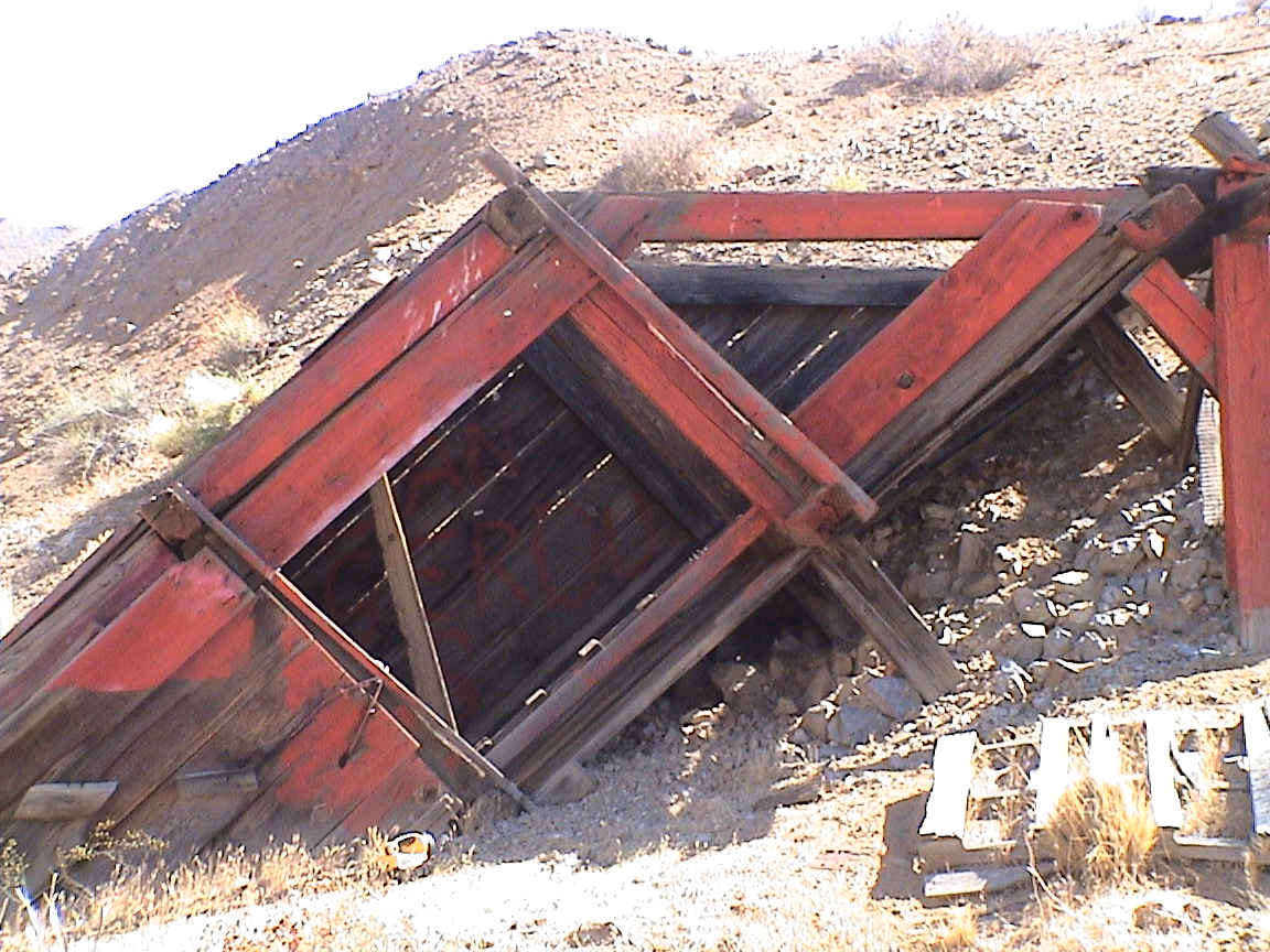
The earliest lode mines were largely confined to high-grade veins in the Mountain Quartzite, but some of the later mines apparently extracted some ore from replacement beds in limestone and shale. Most of the underground mines, especially those at the north end of the Ridge, have caved in. Mine maps and other records are not available. Lode-gold mining operations continued at irregular intervals into the 1940’s when the mines were closed by World War II.
Over the years, unique circumstances have kept the property from being evaluated with modern techniques. It appears to have been overlooked by the major mining companies because the property did not fit the traditionally recognized deposits in Nevada.
A senior Nevada mining engineer recently stated to me that the gold property of the ownership merits attention. He knows half of the mines in western USA.
Some high-grade veins were mined on this unpatented lode mining claim group. A bedrock source, the motherlode, for the large placer deposits down in the valley has yet to be identified. Therefore the primary objective of the Resource Company controlling the property is to proceed with exploration work to determine if economical gold reserves exist in their ground. The Development Plan is detailed in 21 pages of company literature.
The Utah based Resource Company did Joint Venture with an Exploration Company in the 1990s. Preliminary exploration in 1995 did gather some modern data, however the relationship failed when the exploration company filed for bankruptcy in the late 1990’s.
The highest part of the claim group is 8,811 feet above sea level at the top of a ridge. The elevation of the valley is 6,000 feet. Higher in the district is a peak at 10,000 feet. Temperature highs during the summer often reach 90ºF and lows during the winter are consistently below freezing. Annual precipitation is about 12 inches, mostly as snow during the winter months. The field season usually extends from May into November, but mining operations could be conducted year round.
Rocks exposed in the area are from the Precambrian to Tertiary ages (figure 3 of the company literature in the Stratigraphy section).
Structure
Although much of the regional structure has been attributed to a mountain forming intrusion, more recent structures are the likely result of Basin and Range tectonics that produced a series of generally north-south, high-angle normal faults. The ridge in the property is the probable result of this Basin and Range faulting, with faults having been mapped on both east and west flanks of the ridge. As tectonic forces uplifted the central mass of the Range, the Ridge may have slumped toward the valley by virtue of being on the edge of the uplift. Evident on the lower west flank of the ridge are numerous smaller slump blocks probably created by gravity sliding contemporaneous with or subsequent to the faulting of the ridge mass. There is also evidence that suggests the possible existence of a younger (Tertiary) pluton under the area, possibly emplaced after the Basin and Range faulting occurred.
Normal faults trending generally north-south and with apparent large displacements flank the Ridge. The ridge is also cut by several faults trending east-northeasterly, especially in the northern part of the ridge. faults may have caused some of the intense shattering of the quartzite and shale.
Mineralization, Alteration
The most obvious type of bedrock mineralization on the property is that of gold in thin (from a few inches to a few feet thick), steeply dipping quartz fissure veins primarily in the mountain quartzite. Most of these gold veins occur in the northern half of Ridge and they were mined in a historic mine on the east flank and at other mines on the northwest flank of the ridge.
Alteration is not extensive in the district, and consists primarily of silicification in a main bed. There is also some bleaching and iron staining in parts of the Limestone. The Mountain Quartzite and Shale show evidence of low-grade metamorphism at places.
Mining Claims
The Resource Company owns thirty-four (34) unpatented lode mining claims in the Mining District: The mining claims cover most of certain Ridge, a topographic spur on the west flank of a Range. List of claim names with numbers, and a detailed large-scale claim map are available upon request.
Modern History
In the early 1970’s, a prominent mineral geologist undertook geological investigations of the Ridge area.
Geologic mapping, sampling, trenching and ground magnetic surveys occurred in the mid-1970s.
Later in the 1970s an exploration company funded limited a field program of continued mapping, expansion of earlier geochemical surveys, and some geophysical surveys to confirm the geochemical anomalies of the claim holder who was prohibited from continuing work due to failing health. The current owner, now in his sixties was much younger then, was working with the claim owner of the 1970s.
Later the son of the 1970s claim holder took over forming another exploration company that started a few small geochemical and geophysical surveys in the late 1980s, along with additional road construction. Minimal sporadic activities continued through the early 1990s to fulfill the government’s requirements for annual assessment work to keep the claims valid.
The field work by the family identified several targets for additional study and drilling. Principal high-grade targets were identified in three zones during the 1970-1990s are summarized in Figure 7 of company literature.
Figure 10 of PDF available upon request: Exaggerated magnification of the shattered Mountain Quartzite, illustrating coarse gold occurring in fractures rather than in complex mineralogical assemblages. This type of gold occurrence explains the gold placer deposits in the gulch better than other theories.
In the 1990’s, a junior mining company with several producing properties in Nevada signed a joint-venture agreement and started an exploration program to evaluate the property. This exploration program included extensive soil sampling surveys and the drilling of numerous reverse-circulation holes. The surveys and drilling identified new targets. The junior was planning additional drilling and exploration surveys for the property when the company suddenly filed for bankruptcy protection. This ended the joint-venture agreement and the claim holding resource company was also forced to shut down as gold prices fell and funding disappeared.
In the mid-1990s another party entered and mapped some of the old mines. This provided the ownership with valuable subsurface information with which to develop a three-dimensional geologic model for the area. Additional new information revealed that some of the mines were not depleted, as has been believed for years, but that some of the mines were just being developed and new veins being tapped when mining was shut down by World War II. As stated previously, unique circumstances have kept the area from being developed since the end of the war. It is unknown how much high-grade ore remains in the mines, but this must be determined by additional mapping, sampling and drilling.
It becomes obvious that the potential for a significant ore body is great and that the target is certainly worthy of a serious and comprehensive evaluation effort. There is no question that gold occurs in the property. The question to answer is “How much?”
Should a significant ore body be defined, the feasibility of developing a large mine is aided by several other factors including the existence of nearby mines, the convenience of high-voltage power transmission lines that cross the northern end of the Ridge, the availability of water and water rights in the Valley, the close proximity to U.S. Highways for access and transportation, and the lack of serious environmental concerns and restrictions in this area that has been mined for more than 120 years.
Although the work of the junior miner and claim holder focused on the potential for a large, bulk-mineable deposit, the potential for other high-grade vein deposits cannot be ignored. A neighbor mine still has un-mined high-grade veins containing visible gold that warrant further evaluation. Additional high-grade veins have been identified nearby that warrant drilling.
PROPOSED PROGRAM
The structural and mineralization complexity of the District requires the use of modern evaluation techniques in order to locate and define the prospective ore-bearing zones. The Resource Company desires to conduct a phased and integrated evaluation program to identify, define, and delineate ore bodies. The proposed program is delineated in company literature that shall be distributed to you as a PDF in email if this project is of interest to you.
To send a message, CLICK the small text at end: "Post a Comment"